Hiking in Soller
Soller is the best base for walking in the Serra de Tramuntana: dry-stone paths that start in the village itself, the GR221 running through the valley and easy walks to the lighthouses at the Port. Here are the routes, with distances, elevation and how to get back.
- Classic trail
- Barranc de Biniaraix
- Long trail
- GR221
- Best season
- Spring and autumn
- Emergencies
- 112
Quick summary
- The most popular trail is the Barranc de Biniaraix, a climb up stone steps that starts in the village of Biniaraix, next to Soller, and joins the GR221 towards Coll de l'Ofre and Cúber.
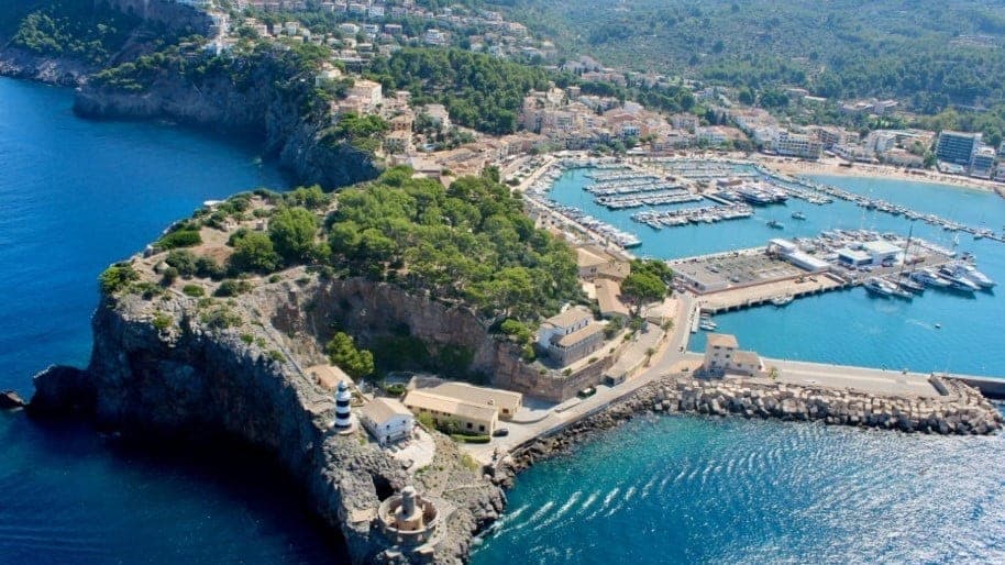
- For an easy walk without a car, go from Port de Soller to the Sa Creu lighthouse (about 10 minutes from the centre) or the Cap Gros lighthouse (about 30 minutes).
- The GR221 (Dry Stone Route) crosses Soller: Deià to Soller (about 13 km) and Soller to Tossals Verds (17 to 20 km depending on the source).
- Spring and autumn are the best seasons; in summer start at dawn and carry plenty of water.
- Distances and times vary between sources: use an up-to-date GPS track, and call 112 in an emergency.
Updated: 1 November 2026
Summary Table of Hiking Routes from Soller
| Route | Distance (approx.) | Difficulty | Start | Return |
|---|---|---|---|---|
| Barranc de Biniaraix to Coll de l'Ofre and Cúber | Cúber to Biniaraix: 10.7 km (Balearic government sheet) | Medium | Biniaraix | Same path, then walk to Soller |
| Biniaraix to Puig de l'Ofre (return) | about 11.5 km, almost 800 m of ascent | Medium to hard | Biniaraix | Same path |
| GR221 Deià to Soller | about 13 km | Medium | Deià | You finish in Soller; tram to the Port |
| GR221 Soller to Tossals Verds | 17 to 20 km | Hard | Soller | Overnight at the refuge |
| Soller to Fornalutx | about 7 to 10 km (return or loop) | Easy to medium | Soller | Same route |
| Port de Soller to Sa Creu and Cap Gros | Sa Creu: about 10 min; Cap Gros: about 30 min | Easy | Port de Soller | Tram to Soller |
Distances are approximate: the sources (Balearic government, GR221 operators, Komoot) do not fully agree, depending on the start point and variant.
Barranc de Biniaraix: the Most Famous Trail
The ravine climbs from the village of Biniaraix, next to Soller, along a cobbled path with stone steps and terrace walls. It is the classic way into the heart of the mountains and part of the GR221 towards Coll de l'Ofre and Cúber reservoir.
- Reference route: the official Balearic government sheet gives about 10.7 km and 120 minutes between Cúber and Biniaraix, rated medium. Other guides allow more time for the climb, so plan with a margin.
- Puig de l'Ofre variant: a return trip from Biniaraix, about 11.5 km with almost 800 m of ascent according to one hiking guide.
- Difficulty: medium. There are no technical sections, but the gradient is constant.
- Wet stone: the steps and slabs get very slippery after rain or with dew. In damp conditions, slow down and wear shoes with a good sole.
- Getting back: the same path to Biniaraix, then on foot to Soller.
GR221 Dry Stone Route: Stages Through Soller
The GR221 crosses the Tramuntana from end to end and runs through the Soller valley. The two stages that touch Soller are:
- Deià to Soller: about 13 km and around 3 h 30 min, with roughly 300 m of ascent and 450 m of descent according to one operator. Medium difficulty.
- Soller to Tossals Verds: between 17 and 20 km and between 5 and 8 hours, with total ascent from 460 to 1,200 m depending on the operator and variant. This is the demanding stage: it passes through Biniaraix and ends at the Tossals Verds refuge, where you sleep.
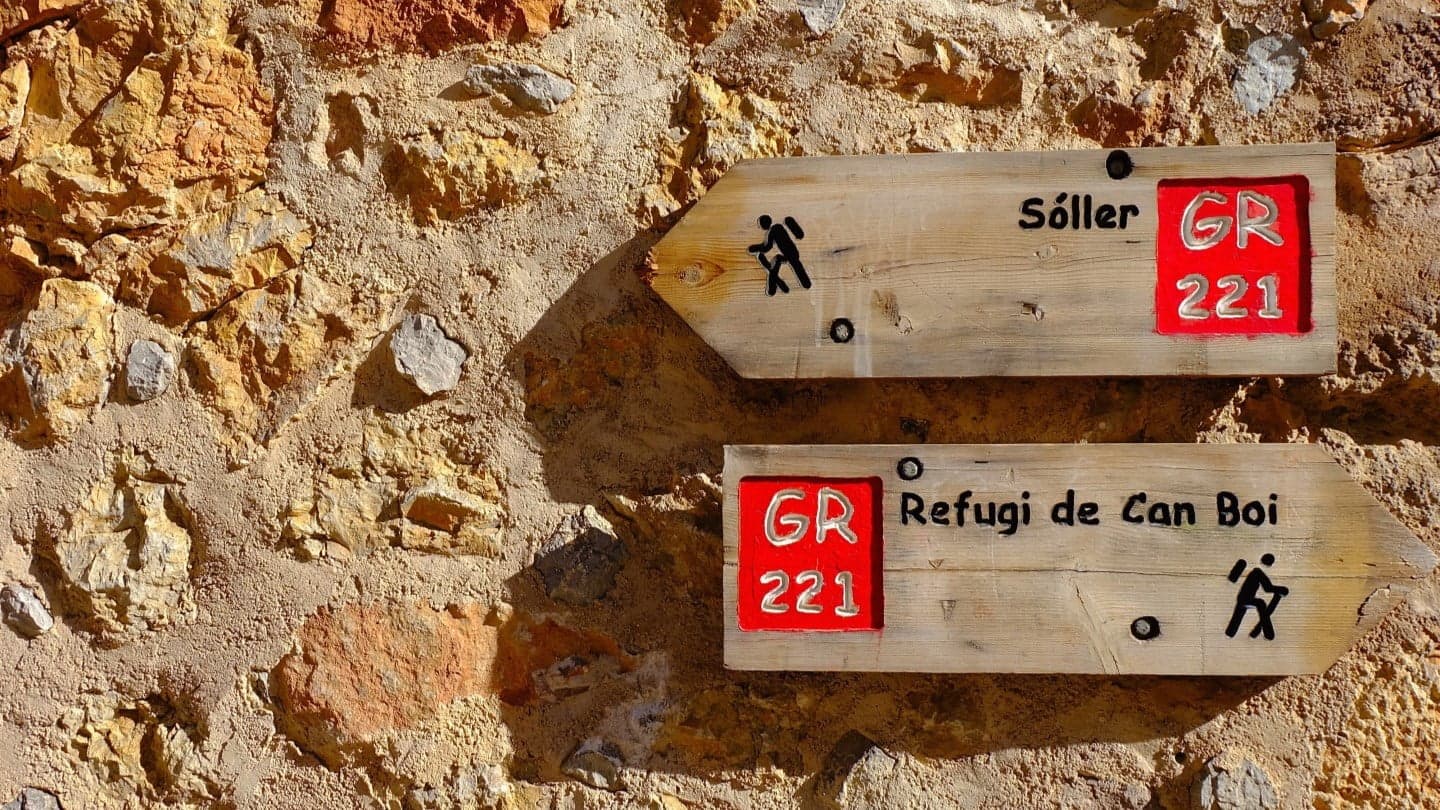
This data comes from private operators, not an official sheet; check the stage and variant on a current map. GR waymarks are white and red paint marks on rocks, walls and posts.
Walking from Soller to Fornalutx
This is a walk of about 7 to 10 km depending on the start point and variant, along old paths between orange and olive trees. It is a good first outing and a short alternative to the Barranc de Biniaraix. We cover the village of Fornalutx in our day trips from Soller guide.
Port de Soller: Sa Creu and Cap Gros Lighthouses
For an easy walk with views and no car, Port de Soller is ideal.
- Sa Creu lighthouse: on the headland by the harbour mouth, about 10 minutes on foot from the centre of the Port. The headland can be visited freely at no charge.
- Cap Gros lighthouse: about 30 minutes on foot from the Port, on the western cape of the bay; the tower dates from 1859 and has views over the bay and both lighthouses.
- Safety: stay on the marked paths, away from the edge, and avoid the area in strong wind or rough seas.
To get back to Soller, take the Soller tram.
Camí de Muleta and the Muleta Refuge
The Camí de Muleta, an official route, starts at Port de Soller and follows the coast towards the Muleta lighthouse. The Refugi de Muleta is there, a GR221 refuge with a shared dormitory. According to one source, at the GR221 junction near Muleta Gran the refuge is about 30 minutes from the main route.
Advanced Routes: Torrent de Pareis and Others
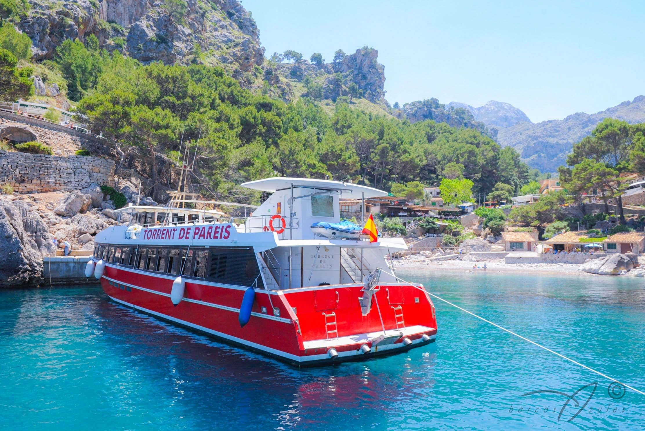
The Torrent de Pareis and the longer mountain ascents are for experienced hikers: technical terrain, danger in rain and little phone coverage. We do not recommend them as beginner routes. If you only want to see its mouth, see boat trips from Soller.
For the Mirador de Ses Barques or the Camí de Castelló, check distances on an official map before setting out.
Best Time of Year to Hike in Soller
- Spring and autumn: mild temperatures and better light. This is the most recommended time.
- Summer: strong heat; start at dawn, avoid the middle of the day and carry more water than you think you need.
- Winter: short days and wet paths. Check the weather in Soller before you go.
What to Bring: Water, Footwear and Navigation
- Water: do not count on fountains along the route; carry at least 1.5 to 2 litres per person.
- Footwear: hiking boots or trail shoes with a good sole; wet stones are slippery.
- Clothing: layers, a hat and sun protection; it gets cooler at altitude.
- Apps: Komoot and Wikiloc offer downloadable tracks. Download the map before you set out, as some areas may lack coverage.
- Emergencies: call 112.
Refuges and Booking
The GR221 refuges (such as Muleta and Tossals Verds) have shared dormitories. According to secondary sources, they are booked through the Consell de Mallorca; book ahead, especially in high season, although there is sometimes space without a reservation. Confirm availability, prices and conditions directly with the Consell de Mallorca. According to one operator, Tossals Verds is the only place to stay overnight on that stage.
Access and Private Estates
A good part of the GR221 crosses private estates with agreed public access. Respect the signs, close gates behind you and stay on the path. Before climbing Puig de l'Ofre or other summits, check for access restrictions.
Guided Hikes and Getting There
If you prefer company, local companies offer guided walks in the Tramuntana; compare itineraries and conditions before booking. To reach Soller, see getting to Soller, and for the car, parking in Soller. For taxis and buses, see taxi and transport.
Frequently Asked Questions About Hiking in Soller
What is the best hike in Soller?
The most popular is the Barranc de Biniaraix, with stone steps and a link to the GR221. For something easier, the Port de Soller lighthouses.
What is the GR221?
The Dry Stone Route, a long-distance trail across the Serra de Tramuntana that passes through Soller.
How long does the Barranc de Biniaraix take?
The official sheet gives about 120 minutes for the section between Cúber and Biniaraix; other guides allow more. Plan with a margin depending on your destination.
When is the best time to hike in Soller?
In spring and autumn. In summer, start at dawn and carry plenty of water.
Can you stay overnight in a GR221 refuge?
Yes, there are refuges such as Muleta and Tossals Verds. Book through the Consell de Mallorca and confirm availability.
Are there easy walks from Port de Soller?
Yes: the Sa Creu lighthouse (about 10 minutes) and Cap Gros (about 30 minutes).
What number do I call in an emergency?
112.
Do I need a permit to hike?
Not usually on the common routes, but respect private estates and check restrictions on specific summits.