Map of Sóller: town, Port and valley
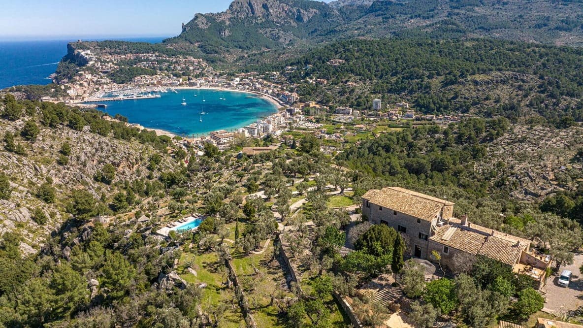
Sóller is a town in a valley, about 3 km from its harbour. Here is the map, the key places with a Google Maps link and how to get between the centre, the Port and the villages of the valley.
- From Palma
- 30 km
- Town to the Port
- 3 km
- Sóller tunnel
- 3 km, toll-free
- Areas
- Town, Port, valley
Quick summary
- Sóller is about 30 km from Palma, on the other side of the Serra de Tramuntana, reached by the Ma-11 and its tunnel of about 3 km, toll-free since 2017.
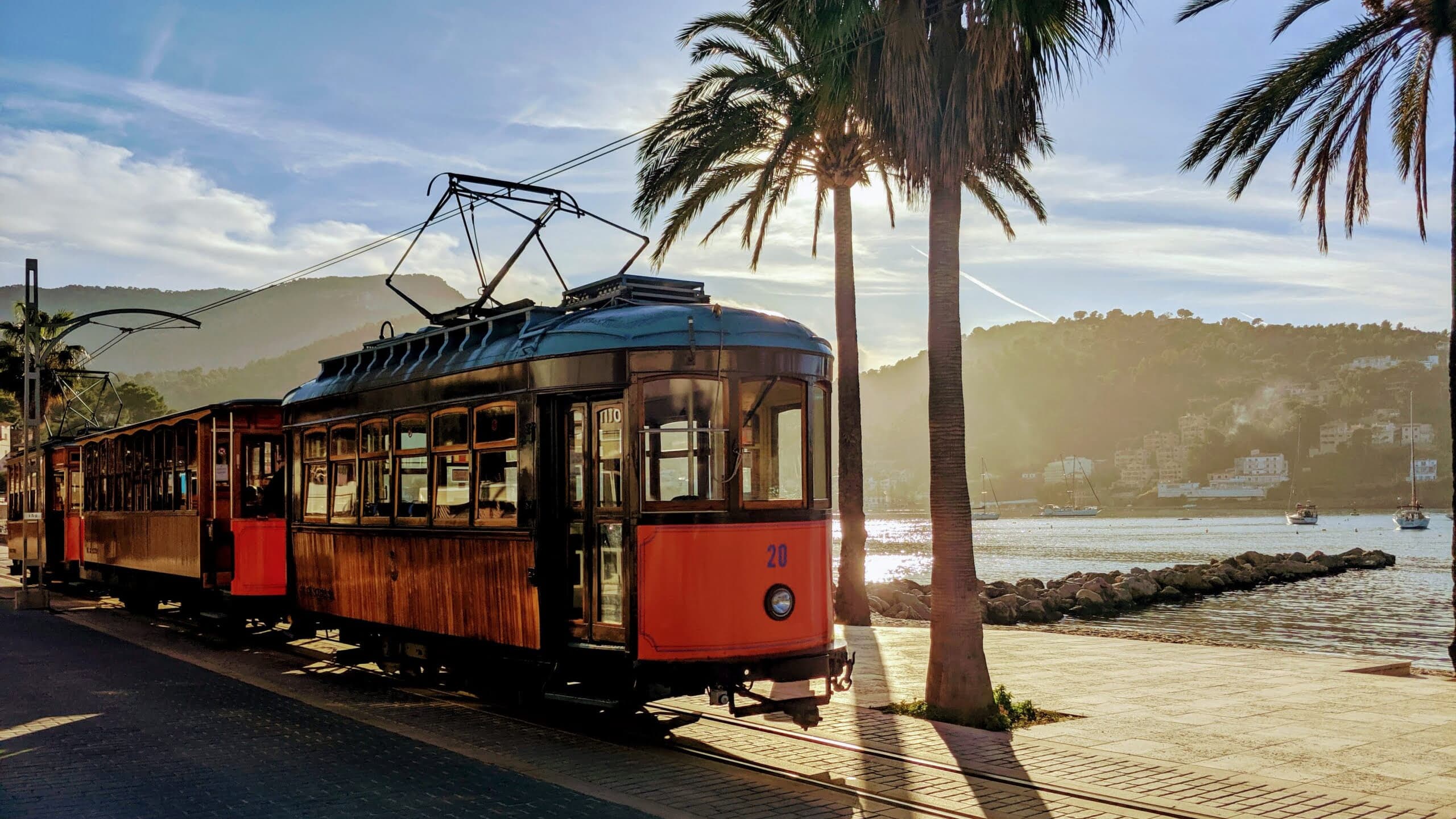
- The town and Port de Sóller are about 3 km apart and the tram links them.
- The centre is a low-emission zone: park outside and walk.
- Fornalutx and Biniaraix are in the valley, a short way from the town.
- Every place in the table opens directly in Google Maps.
Updated: 17 November 2026
The map of Sóller
The town, the valley and the harbour on one map. Pinch or use the buttons to zoom in:
Open the map of Sóller in Google Maps. For the bay and the lighthouses, see the map of Port de Sóller.
The three areas of Sóller
- The town: the historic centre, with the square, the church, the Saturday market and the shops. You can walk it.
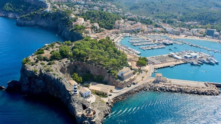
- Port de Sóller: the bay, the seafront promenade and the beaches, about 3 km away. The tram links it, running from the town down to the promenade.
- The valley: orange groves and small villages such as Fornalutx and Biniaraix, around Sóller.
Key places with a map link
| Place | Area | Map |
|---|---|---|
| Plaça de sa Constitució | Centre | View on the map |
| Església de Sant Bartomeu | Centre | View on the map |
| Banc de Sóller | Centre | View on the map |
| Can Prunera Museu Modernista | Old town | View on the map |
| Museu de Sóller | Centre | View on the map |
| Jardí Botànic de Sóller | Road towards the Port | View on the map |
| Mirador de ses Barques | Outside the old town | View on the map |
| Platja d'en Repic | Port de Sóller | View on the map |
The links search each name in Google Maps. To see what to visit at each place and how long to allow, see what to see in Sóller.
Getting there and getting around
- From Palma: Sóller is about 30 km away, by the Ma-11 and the tunnel. All the options are in getting to Sóller.
- Train: the Sóller train links Palma and Sóller.
- Bus: line 203 and line 204.
- Taxi: taxi and transport.
- Between the town and the Port: tram or bus.
Where to park
The centre is a low-emission zone and parking is scarce in summer: park outside the old town and walk. Colours, rates and zones are in parking in Sóller.
Frequently asked questions about the map of Sóller
Where is Sóller in Mallorca?
On the other side of the Serra de Tramuntana, about 30 km from Palma. You reach it by the Ma-11 and its tunnel of about 3 km, toll-free since 2017.
How far is Port de Sóller from the town?
About 3 km. The tram links them.
Can I walk around the centre of Sóller?
Yes, the places in the centre are close to each other and can be walked. It is better to park outside, because the centre is a low-emission zone.
Where can I see a map of Port de Sóller?
In the Port de Sóller guide, with the bay, the promenade and the lighthouses.
How do I open a place in Google Maps?
Click the link in the key places table: it opens Google Maps searching for the name, and from there you can ask for directions.