Biniaraix and the Barranc de Biniaraix
Biniaraix is a village next to Soller and the gateway to its ravine, a cobbled dry-stone path protected as a Site of Cultural Interest. Here is how to get there, how long it takes, how hard it is and what to see on the way.
- Official difficulty
- 3 out of 5 (CAIB)
- Path
- Dry stone, BIC
- Part of
- GR221
- Cost
- Free
Quick summary
- The Barranc de Biniaraix starts in the village of Biniaraix, in the municipality of Soller, and climbs a cobbled path between olive terraces.
- The CAIB official sheet gives 2 km and about 45 minutes uphill on the cobbled path, difficulty 3 out of 5; the Fundació Mallorca Turisme gives 5.01 km: figures depend on where the route is cut.
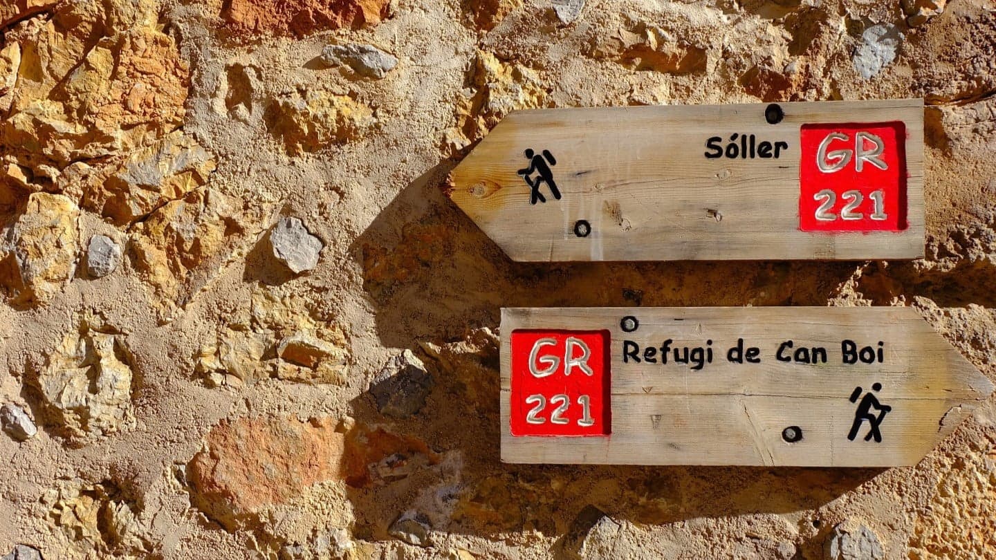
- It is a Site of Cultural Interest (BIC) and part of the GR221, the Dry Stone Route.
- You can continue to Puig de l'Ofre (about 2 hours from the start) and the Cúber reservoir.
- Slabs get very slippery in rain or dew: wear shoes with good grip, bring water, and leave the pushchair or wheelchair behind.
Updated: 22 November 2026
The ravine: the dry-stone path
The Barranc de Biniaraix is a cobbled mountain path with dry-stone walls and terraces, one of the classic ways into the Serra de Tramuntana from Soller. The Camí des Barranc and the Camí Vell are declared Sites of Cultural Interest in the Monument category, and the CAIB sheet dates that protection to 1994.
- On the way: according to the CAIB, the climb passes mountain olive groves on terraces, a twisted olive tree called "Sa Madona des Barranc" and, shortly after, the Font des Verger spring.
- Steps: mallorca.com mentions about 1,700 stone steps up to the Gorg de Can Catí, a stretch it describes as suitable for families.
- The builders: a school of margers (dry-stone wall builders) was set up in 1986 to conserve these paths, according to the Fundació Mallorca Turisme.
Distance, time and difficulty
The official sources disagree because they describe different stretches, so it helps to know what each one measures:
| Source | What it measures |
|---|---|
| CAIB (Oleorutas) | 2 km, about 45 minutes uphill on the cobbled path, difficulty 3 out of 5, free, on foot |
| Fundació Mallorca Turisme | Camí Vell del Barranc: 5.01 km, low difficulty; not suitable for pushchairs or wheelchairs |
| CAIB, continuation | About 2 hours from the start to Puig de l'Ofre and about 3 more hours to the Cúber reservoir |
Our hiking guide has the Govern sheet between Cúber and Biniaraix. As a rule of thumb: for a short outing, climb for a while on the cobbled path and come back the same way; for Puig de l'Ofre or Cúber you need half a day or more and good fitness.
What to see in the village of Biniaraix
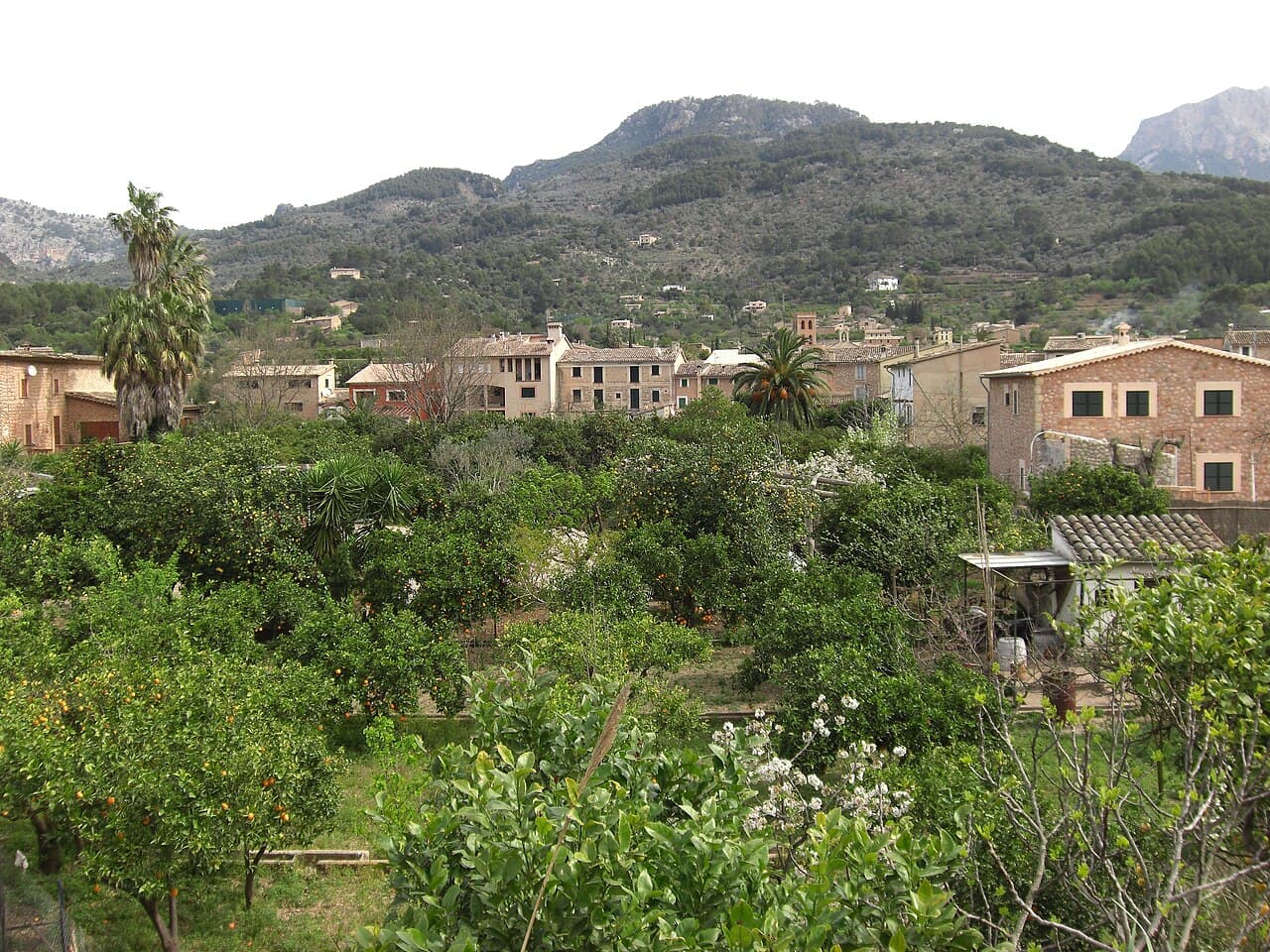
Biniaraix sits right next to Soller, among cultivated terraces, and is the starting point of the hike. The sources I checked talk mostly about the ravine and do not detail the village itself, so I do not invent sights here: the usual plan is to stroll its narrow streets and begin the path from the village.
The CAIB also lists the Camí des Marrois, a steep paved path of about 4.2 km linking Biniaraix with Fornalutx between citrus and olive terraces. More on the neighbouring village in our Fornalutx guide.
Getting there and parking
Biniaraix is in the municipality of Soller and you can walk there from the town. Mallorca.com warns that parking near Biniaraix is limited and mentions a taxi from Soller as an alternative. For buses and taxis see travel info and parking in Soller, and check current timetables on tib.org.
Practical tips
- Footwear: hiking boots or shoes with good grip; wet slabs are slippery.
- Heat: in summer start early and carry water; the climb is continuous.
- Weather: check the weather in Soller before you set out.
- Dogs: the Dry Stone Route asks that dogs are always kept on a lead.
- Emergencies: 112.
Frequently asked questions about Biniaraix
How long does it take to climb the Barranc de Biniaraix?
The CAIB gives about 45 minutes uphill on the cobbled path. To Puig de l'Ofre it is about 2 hours from the start, and to Cúber about 3 hours more.
How difficult is it?
The CAIB official sheet rates it 3 out of 5. The Fundació Mallorca Turisme classes the Camí Vell as low. It is not technical, but the slope is constant and wet slabs are slippery.
How many kilometres is it?
It depends on the stretch: 2 km according to the CAIB and 5.01 km according to the Fundació Mallorca Turisme. Between Cúber and Biniaraix the Govern sheet gives 10.7 km.
Is it suitable for children?
The lower stretch up to the Gorg de Can Catí is described as suitable for families, but it is not suitable for pushchairs or wheelchairs.
Is there an entrance fee?
No: the CAIB sheet says it is free.
Can I walk to Fornalutx from Biniaraix?
Yes: the CAIB lists the Camí des Marrois, about 4.2 km, a steep paved path between terraces.