
Puig de l'Ofre: the peak above Soller
Puig de l'Ofre is a cone-shaped peak of about 1,091 m, visible from Soller, with 360-degree views. Here is how to climb it from Biniaraix or the Cúber reservoir, how long it takes and what precautions to take.
- Height
- About 1,091 m
- Starts
- Biniaraix or Cúber
- Last stretch
- Very steep
- Best in
- Dry weather
Quick summary
- Puig de l'Ofre is about 1,091 m according to mallorca.com and Visorando (Mallorca Magazin gives 1,090 m).
- You can climb it from Biniaraix, through the ravine, or from the Cúber reservoir, which the sources describe as the easier start.
- From Biniaraix, the CAIB estimates about 2 hours from the start of the path; an older guide gives about 5 km and about 900 m of climb.
- The last stretch is very steep, you sometimes need your hands and the rock is slippery when wet: do not climb in the rain.
- At the top there is a small cave with a summit logbook and 360-degree views.
Updated: 22 November 2026
What Puig de l'Ofre is
It is a cone-shaped mountain in the Serra de Tramuntana that stands out from Soller. According to mallorca.com it is about 1,091 m; Visorando agrees and Mallorca Magazin gives 1,090 m. From the top there is a 360-degree view that, in clear weather, covers a good part of the island.
The area is home to raptors: the mallorca.com directory mentions vultures and, at times, donkeys and sheep on the path. Near the summit there is a small cave with a logbook to sign.
Climbing from Biniaraix
This is the most demanding route. It leaves the village of Biniaraix, climbs the cobbles of the ravine (see our Barranc de Biniaraix guide) and reaches the Coll de l'Ofre, a pass at about 875 m according to Mallorca Magazin. From there you climb to the summit.
- Time: the CAIB gives about 2 hours from the start of the path to Puig de l'Ofre.
- Distance and ascent: a Mallorca Magazin article (2010) gives about 5 km and about 900 m of climb, and about 2 hours without stops for a fit walker. Another guide gives about 11.5 km round trip and almost 800 m of ascent (see hiking in Soller). Figures vary between sources.
- Return: the same path to Biniaraix and on foot to Soller. Another option mentioned is to descend towards Fornalutx.
Climbing from the Cúber reservoir
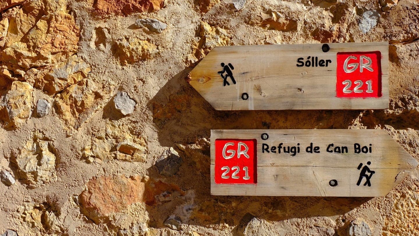
Mallorca.com and Mallorca Magazin agree that starting from Cúber, on the Ma-10, is much easier because you begin at a high altitude. Visorando describes a moderate route that passes the Coll de l'Ofre, on the GR221, before the junction to the summit, and warns that there are no shelters or water once you leave Cúber.
To reach Cúber by road see getting to Soller and check bus timetables on tib.org.
Safety and tips
- Last stretch: it is very steep on every route; you sometimes need your hands and only stone cairns guide you.
- Rain: do not climb if it has rained or is about to; the rock is slippery.
- Water: carry enough; there are no shelters or water after Cúber, according to Visorando.
- Small children: the mallorca.com directory says it is not suitable.
- Weather: see the weather in Soller and remember it changes fast in the Tramuntana.
- Emergencies: 112.
Frequently asked questions about Puig de l'Ofre
How high is Puig de l'Ofre?
About 1,091 m according to mallorca.com and Visorando. Mallorca Magazin gives 1,090 m.
How long does it take from Biniaraix?
The CAIB gives about 2 hours from the start of the path. An older guide gives about 2 hours without stops for a fit walker.
Which is the easiest start?
Mallorca.com and Mallorca Magazin agree it is from the Cúber reservoir.
Is it dangerous?
The last stretch is very steep and you sometimes need your hands. In the rain the rock is slippery: do not climb if it is raining.
Is there water or shelter on the route?
Visorando says there are no shelters or water after leaving Cúber. Carry enough water.
What is at the top?
360-degree views and, according to mallorca.com, a small cave with a logbook to sign.